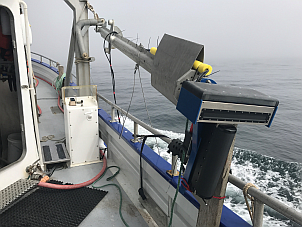
Oceandyn Technology provide reliable offshore and underwater survey services to help clients clearly understand the exact position and condition of their assets.
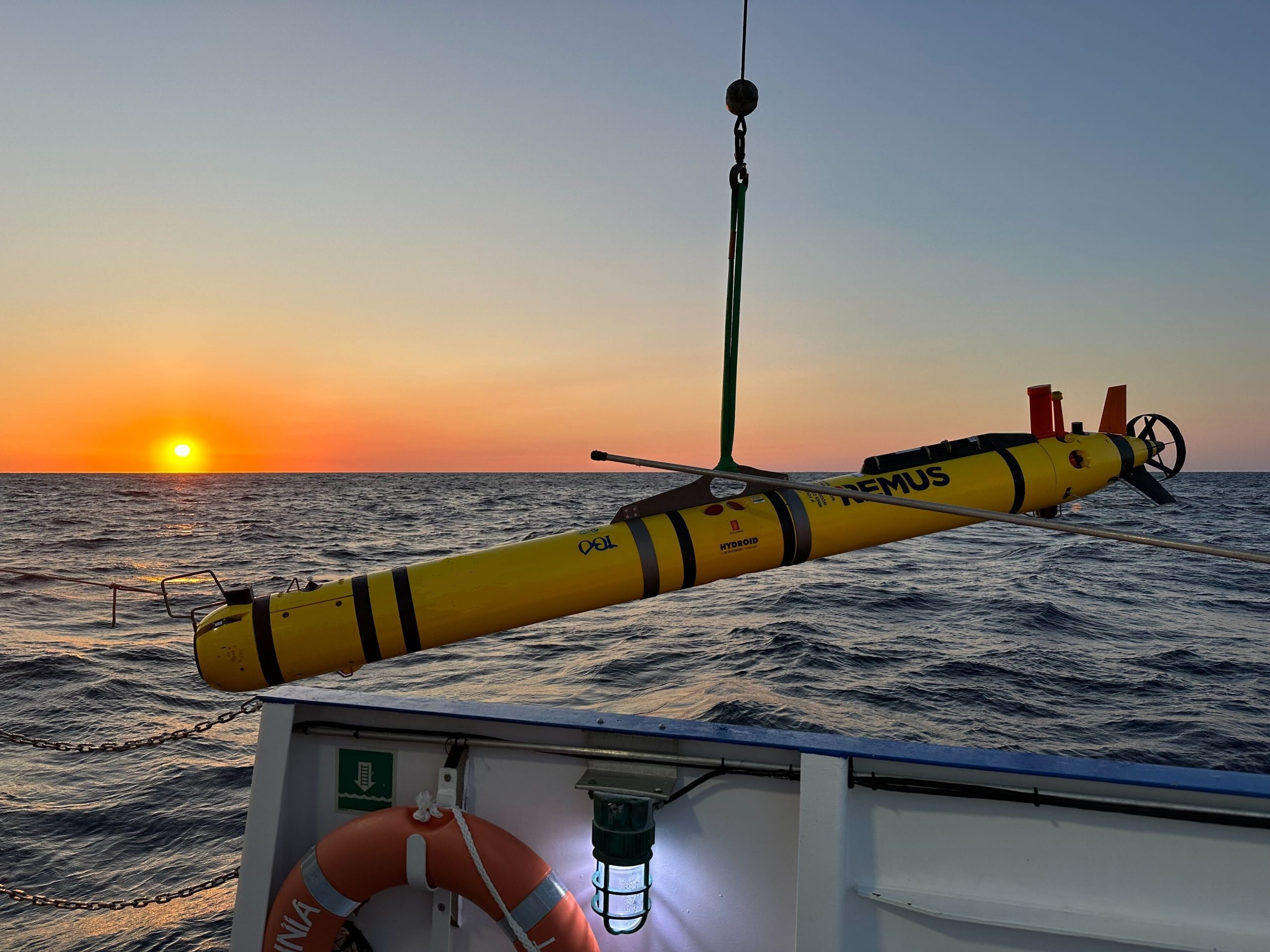
Using advanced survey equipment integrated with ROVs (Remotely Operated Vehicles) and AUVs (Autonomous Underwater Vehicles), we deliver accurate data that supports safe installation, inspection, and long-term asset management.
Our offshore survey and mapping services are designed to support oil & gas operators, marine contractors, and offshore asset owners with dependable and precise results.
Offshore Survey Services
Pre-Lay and Post-Lay Pipeline Survey
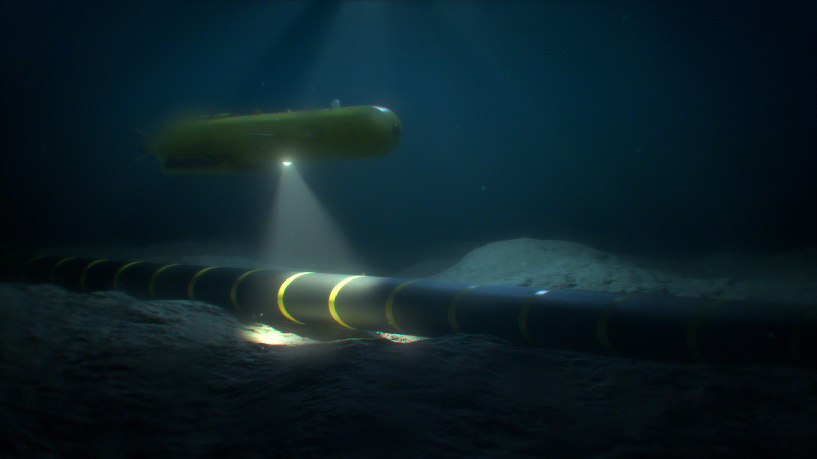
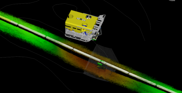
We carry out pipeline route surveys before installation (pre-lay) to confirm seabed conditions and after installation (post-lay) to verify pipeline position, stability, and integrity. Our ROV and AUV-supported surveys ensure pipelines are installed safely and correctly along the planned route.
As-Built and Route Positioning Survey
We provide accurate as-built surveys to confirm the final installed position of pipelines, subsea structures, and offshore facilities. This helps clients maintain proper documentation and meet regulatory and project requirements.
Bathymetric and Seabed Mapping
We conduct detailed bathymetric surveys to measure water depth and map seabed features. Using modern offshore survey systems, ROVs, and AUVs, we generate clear seabed maps that support engineering design, installation planning, and risk assessment.
